Vi erbjuder heltäckande stöd för Utveckling av Koltillgångar, från förstudier till projektutveckling, kommersialisering och klimatfinansiering. Oavsett om du är markägare, utvecklare eller företag med koldioxidprojekt – våra experter kan hjälpa till.
Med över 850 klimatprojekt möjliggjorda i fler än 20 länder kan våra experter hjälpa till.
Som en pionjär inom de globala koldioxidmarknaderna investerar South Pole kraftigt för att säkerställa kvaliteten på alla projekt och certifikat. Vår ambition är att överträffa branschstandarderna för transparens och offentliggörande av koldioxidprojekt.
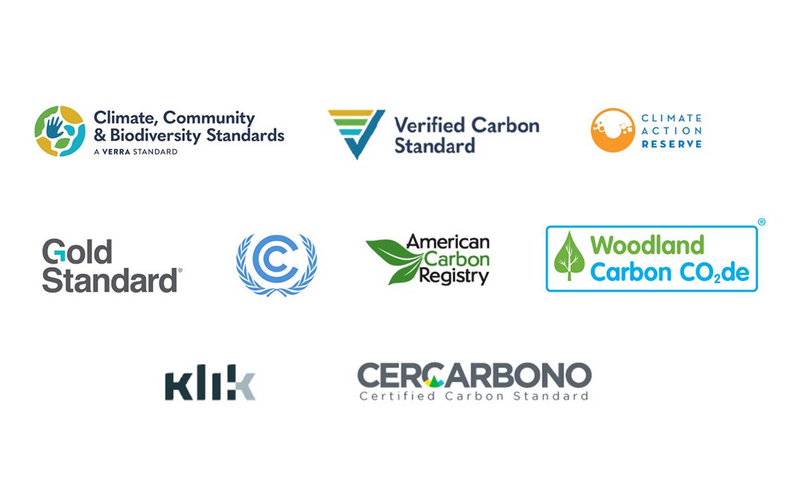
Våra projekt följer internationella standarder för koldioxidcertifiering för att upprätthålla stränga kvalitets- och kravspecifikationer som fastställts av standarderna, vilka verifieras av oberoende tredjepartsrevisorer. Dessa inkluderar:
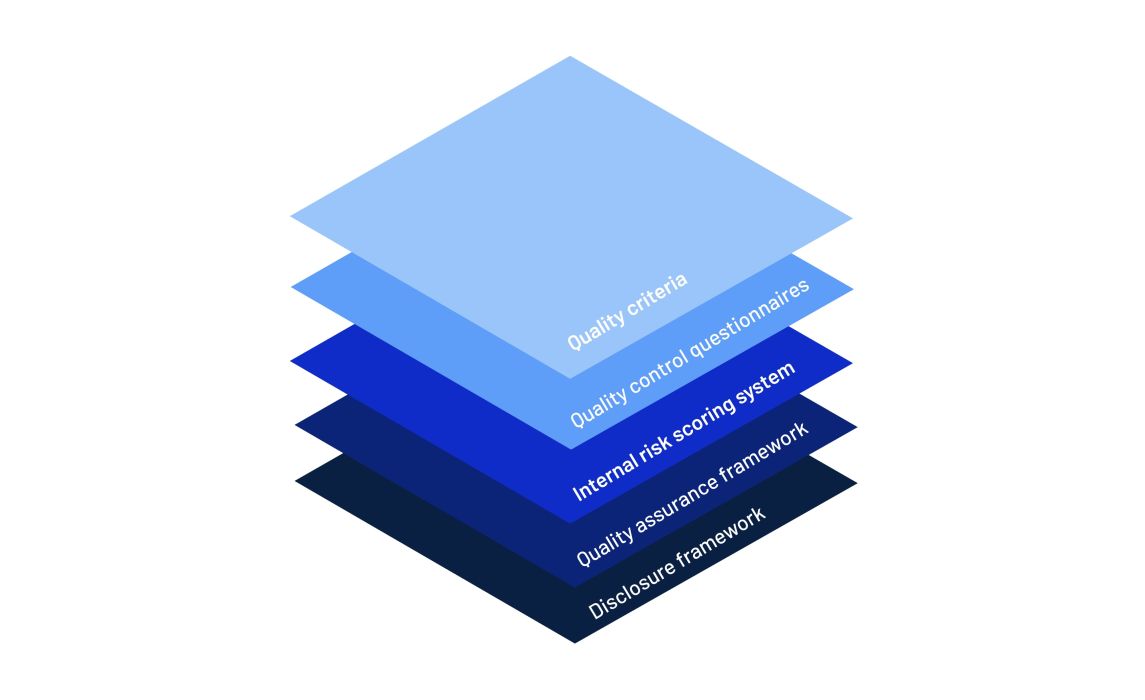
Vi håller på att implementera South Poles förbättrade kvalitetsledningssystem för att tillhandahålla ytterligare kvalitets- och riskbedömningar för våra koldioxidprojekt. Denna ytterligare säkerhetsnivå inkluderar:

Ta reda på hur South Pole arbetar för ökad kvalitet på klimatmarknaden genom förbättrad riskhantering, ökade kvalitetskontroller och strikt regelefterlevnad. Läs mer om vårt arbete kring transparens och etik.

Utforska koldioxidkrediter: Upptäck hur de är en kraftfull, omedelbar lösning för att påskynda ditt klimatarbete och skapa mätbar miljömässig och social påverkan.


South Pole har ett stort team av experter och rådgivare "på plats" över 6 kontinenter.


