We provide end to end Carbon Asset Development support, from feasibility assessment to project development and commercialisation to climate finance. Whether you are a landowner, project developer or a corporate seeking to develop your own carbon projects, our experts can help.

With more than 850 climate projects enabled across over 20 countries, our experts can help.

The Asia Centre of Carbon Excellence (ACCE) seeks to unlock carbon markets as a financing tool for decarbonisation investments.
As a pioneer of global carbon markets, South Pole invests heavily to ensure the quality of all projects and certificates. Our ambition is to exceed industry standards on transparency and disclosure for carbon projects.
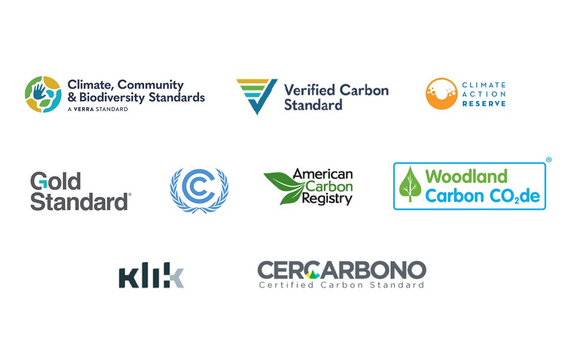
Our projects follow international carbon certification standards to uphold stringent quality and requirements set by the Standards, which are verified through third-party auditors. These include:
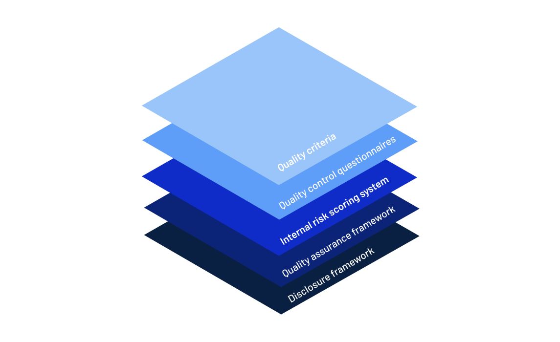
We are in the process of rolling out South Pole's enhanced Quality Management System to provide additional quality and risk assessments on our carbon projects. This additional safety layer includes:

What does it take to get the first Asian carbon project under Article 6 authorised? Karolien Casaer-Diez, Article 6 expert at South Pole, explains.
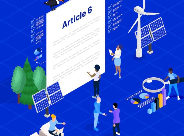
This 20-minute guide explains Article 6 of the Paris Agreement, why it is important, how it helps countries and companies meet their climate targets, and more.

Discover how South Pole drives integrity in the carbon market with robust risk management, enhanced quality controls, and strict compliance protocols. Learn about our commitment to transparency and ethical practices.

Explore the world of carbon credits: discover how carbon credits offer a powerful, immediate solution to accelerate your climate action and drive measurable environmental and social impact.


We offer the opportunity to access the carbon markets and help to avoid additional expenses to develop, maintain and market the carbon credits.
South Pole has a large team of "on the ground" experts and advisors across 6 continents.


